Article
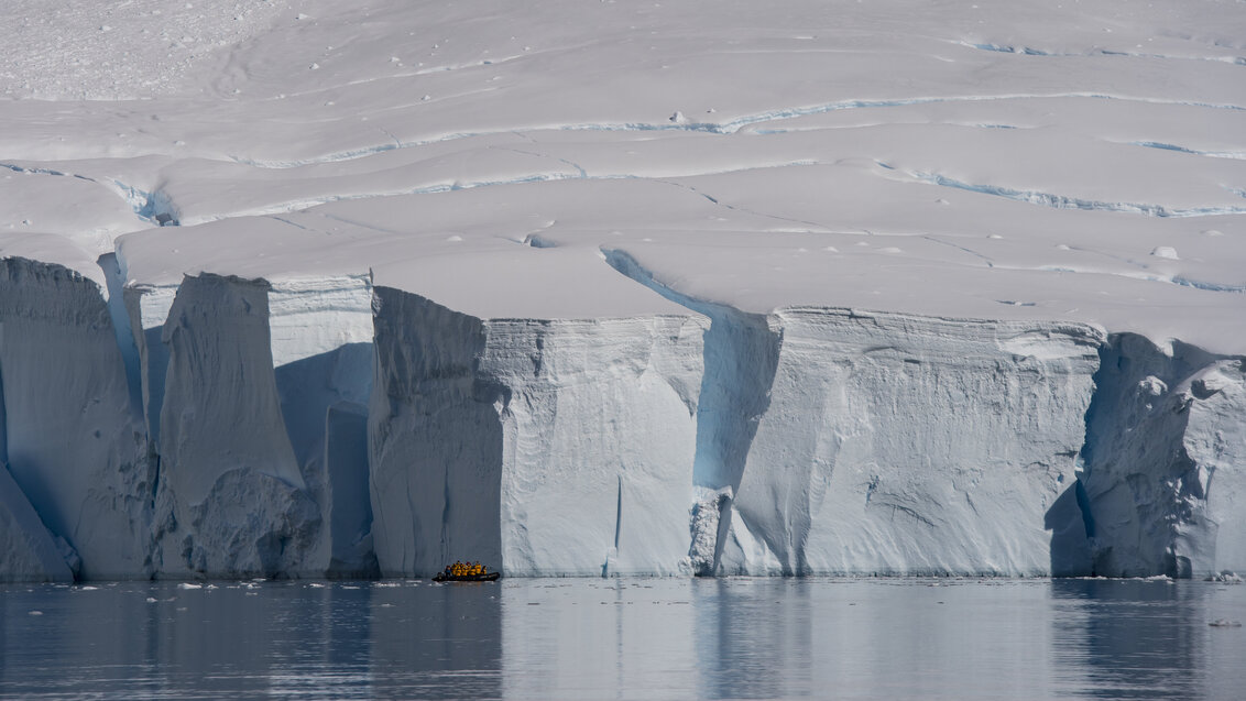
Illustrative photo (by Dreamstime)
Monitoring glacier movements based on satellite radar imagery SAR often requires the use of separate complementary data analysis methods. A researcher from the AGH University has an idea of how to combine their advantages into one package with the help of artificial intelligence. Her work can help in predicting hazards related to the effects of climate change.
The motto pantha rhei, attributed to the ancient Greek philosopher Heraclitus, describing the constant changeability of the world around us, fits glaciers perfectly. They are constantly on the move under the influence of their own weight (some can move as fast as several meters per day!). They crack open during this journey, creating dangerous crevasses. Moreover, they are deformed by subglacial and supraglacial lakes and rivers. Finally, they calve, releasing icebergs. These are natural processes, but their intensity may be related to their melting due to the increase in water and air temperature caused by human activity. Unfortunately, the last one is particularly noticeable in Arctic regions.
Harbingers of catastrophe
The loss of mass from glaciers flowing into the sea results in rising sea levels, which threatens human existence in many coastal areas. The melting of mountain glaciers can also lead to catastrophic events, both incidental, such as the fragmentation of glaciers causing avalanches, and long-lasting events that threaten the foundations of entire communities, such as disruptions to local water systems.
Therefore, monitoring the movements and deformations of glaciers is necessary if we want to be prepared for the hazards associated with climate warming. However, this is not an easy task because glaciers cover 10 percent of the Earth's surface, and their locations in polar and mountainous areas make them nearly inaccessible to humans. Nevertheless, remote sensing methods come to the aid of scientists and relevant services, allowing them to obtain information about the terrain without conducting direct on-site research. One such method is satellite synthetic aperture radar (SAR) imaging. The signal acquired by the satellite during its passage over a specific area has two components. The first is its amplitude (power), which is related to the type of surface that the radar wave reflects from. The second component is the distance the wave travels in both directions, expressed by phase values.
A challenging training area for SAR
Depending on the data provider, radar imaging is performed every few or several days. In the case of the European Union's Sentinel-1 mission, from which data is publicly available, they are acquired with a 12-day frequency. To obtain information about the surface displacement for data analysis, various interferometric methods are commonly used, where the image is created based on the phase difference between two acquisitions. Interferograms can be visualised, and terrain displacement monitoring is possible with an accuracy of up to a single millimetre. Due to this precision, interferometry is used, among other things, to monitor the effects of earthquakes, volcanic eruptions, and landslides.
However, there are difficulties with using interferometric methods to study glacier movements.
"In the case of glaciers, where we have a snow cover and ice, the signal reflection is weak. Glaciers also move at such a fast pace that the signal undergoes decorrelation. Therefore, we are unable to detect surface displacement using classical methods based on phase difference, such as Differential SAR Interferometry (DInSAR) or Persistent Scatterer Interferometry (PInSAR). However, there are alternatives that rely not on phase, but on signal intensity, and these methods are primarily used here. Their accuracy, in turn, depends on the size of a single terrain pixel and the type of radar sensor used. The parameters of the latter are constantly changing, and this needs to be taken into account in relation to the data we work with," explains Magdalena Łucka, MSc Eng., from the Faculty of Geo-Data Science, Geodesy, and Environmental Engineering, who deals with the use of satellite radar imagery for glacier monitoring.
Research using the Offset-Tracking method
The researcher, while analysing glacier displacements, primarily uses the Offset-Tracking (OT) method. It involves finding areas of pixels with similar radar wave reflections in a pair of radar images, which allows for determining the distance between them.
"This is a method designed specifically for glacier studies, focusing on large horizontal movements. In the case of publicly available data from the Sentinel-1 mission, the size of a single terrain pixel is 10x10 metres (with the possibility of achieving sub-pixel accuracy of 1/10, 1/30 of a pixel), sometimes even larger. Since glaciers move quickly, this level of accuracy is sufficient. However, if we wanted to use it in landslide or mining areas, it would be unsatisfactory," describes Magdalena Łucka.
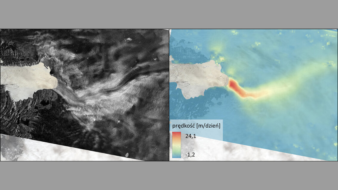
Jakobshavn Glacier (Greenland): on the left, intensity of radar wave reflection, and on the right, displacements determined for the same region during the period of 12-24 May 2023
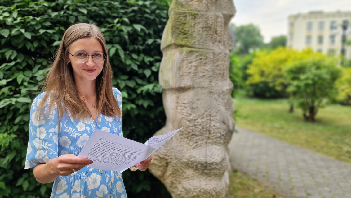
Magdalena Łucka, MSc Eng., photo by Marianna Cielecka
 Pre-election meeting with a candidate for the position of rector
  Agreement on cooperation with OPAL-RT
  Krakow DIANA Accelerator consortium members with an agreement
  Meeting with the Consul General of Germany
  More Academic Sports Championships finals with medals for our students
  Professor Jerzy Lis re-elected as AGH University Rector
  Launch of AGH University Student Construction Centre
  Bronze for our swimmers at Academic Championships