Article
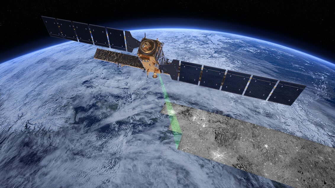
Sentinel-1 satellite; image by ESA/ATG medialab
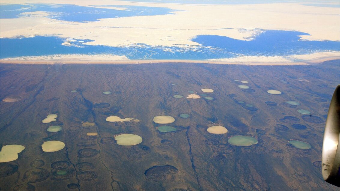
Monitoring sinkholes is a challenge not only to national security services, but also to climatologists. The ones that form in the hard-to-reach arctic regions emit considerable volumes of greenhouse gases into the atmosphere. AGH UST scientists want to use an interferometric synthetic aperture radar (InSAR) to warn people about this phenomenon, before it brings about a direct threat.
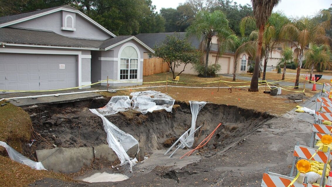
They can swallow people, cars, and even entire buildings. Sinkholes are common in the United States, where, according to local geological services, up to 40% of the country lies within the area prone to their formation. However, the problem affects other regions of the globe as well, including Europe. The chief perpetrator is water that dissolves rocks beneath the surface of the ground (salt, gypsum, limestone, dolomites), which leads to a sudden sinking of the ground. Water penetrating the crust can also work its way inside, creating apertures and empty spaces, which, as a result of gradual erosion, spread towards the surface. The uppermost layer of the ground can then simply collapse under its own weight, revealing a hole underneath that, in some cases, can be quite spectacular in size.
A sinkhole in the suburbs of Tampa, Florida, photo by U.S. Geological Survey
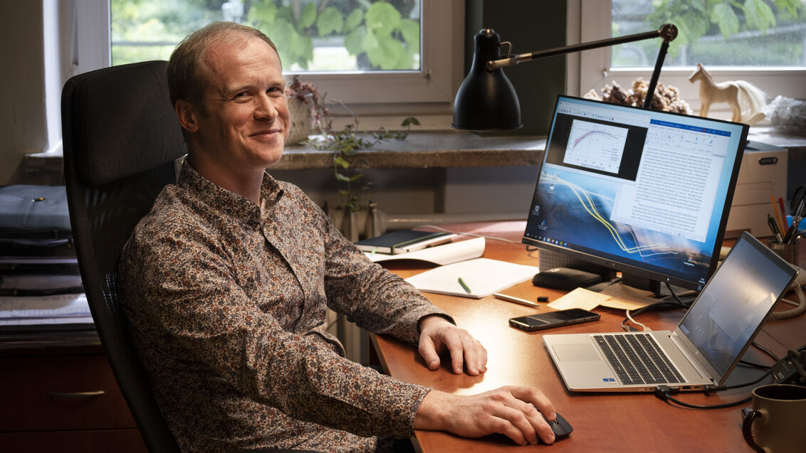
Dr Wojciech T. Witkowski, photo by the Centre for Communication and Marketing
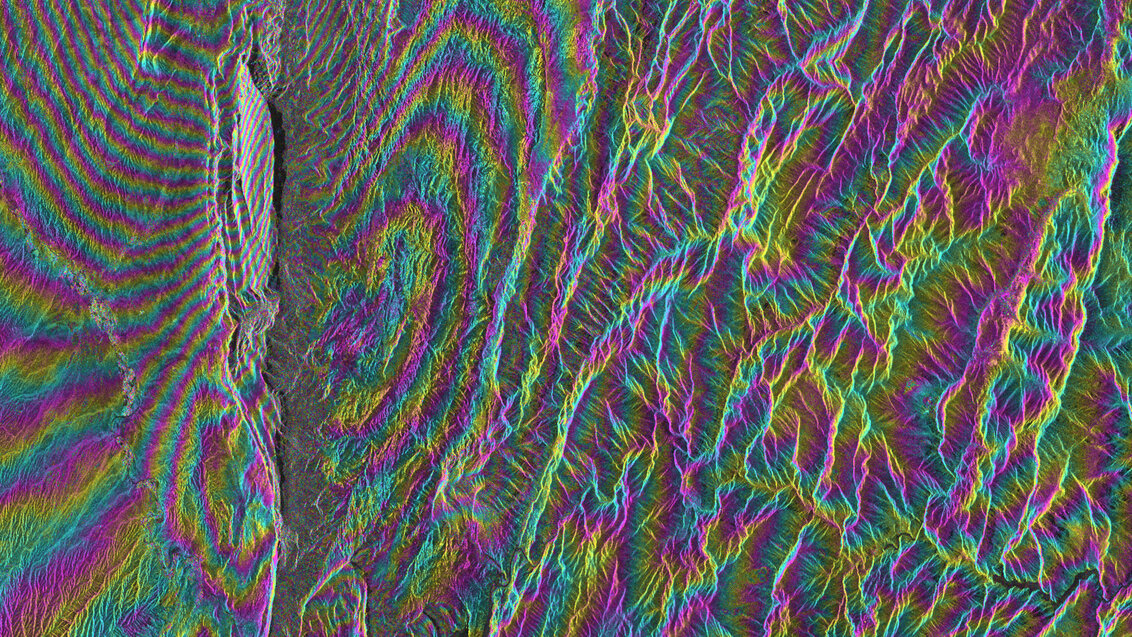
An interferometric image of Iran, depicting ground movements after an earthquake
Bird’s-eye view of the sinkholes (thermokarsts) in the arctic region of Canada, photo by Steve Jurvetson CC BY 2.0
 Three AGH University student projects with KOKOS awards
  AGH University mathematician: I look for beauty in graphs
  Krakow hosts the 15th European Symposium on Computational Intelligence and Mathematics
  START scholarship for two young AGH University researchers
  Main Library’s Agnieszka Podrazik as a Promoter of Education about Standardization
  CYFRONET Centre’s Helios third in the Green500 list